Walking Old Nassau: forts, the Queen's Staircase and Bay Street's layers
A self-guided walk through Old Nassau, from the Queen's Staircase and Fort Fincastle down Bay Street to Fort Charlotte, with history and practical tips.

Julian Pinder · 9 min read
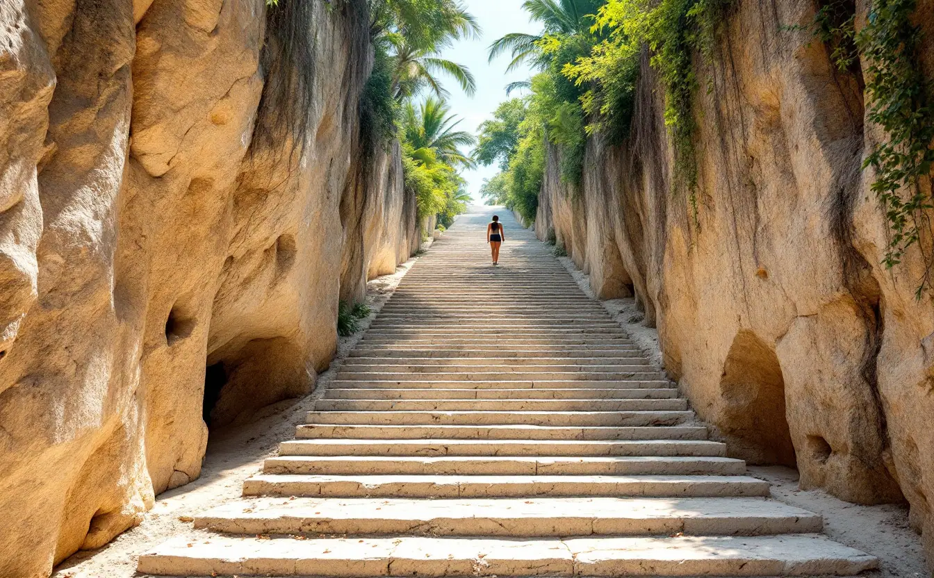
Start just after sunrise, while the limestone of the Queen's Staircase is still cool and damp and the first cruise ship hasn't yet tied up at Prince George Wharf. By ten o'clock downtown Nassau is a different place: taxis three deep on Bay Street, vendors calling from the Straw Market, music drifting out of a shopfront. This walk gives you both versions of the city in turn.
The route runs roughly east to west, from Bennet's Hill, the highest ground in old Nassau, down through Parliament Square and along Bay Street, then out to Fort Charlotte, finishing within sight of the fish-fry stalls at Arawak Cay. In a few miles it covers three centuries of building, from a fort shaped like a ship to a slave market that is now a museum. With stops, it takes most of a day, or two cooler mornings.
Before you set off
Nassau is small enough to walk, though pavements narrow without warning, traffic drives on the left, and parts of West Bay Street have no shade at all. Mornings are comfortable from December to April. From June the heat and humidity build quickly, and afternoon showers are common. Look up the month you're travelling in on our Bahamas weather guide before you decide how much to do on foot.
Opening hours and entry fees at the forts and museums change from time to time, so confirm them locally before you go.
The route at a glance
| Stop | What you'll see | Time to allow |
|---|---|---|
| 1. Queen's Staircase | Steps cut from solid limestone in the 1790s | 20 minutes |
| 2. Fort Fincastle and the Water Tower | A small ship-shaped fort and harbour views | 30–45 minutes |
| 3. Nassau Public Library | An octagonal former jail | 15–20 minutes |
| 4. Parliament Square | Pink Loyalist-era government buildings | 20 minutes |
| 5. Bay Street and the Straw Market | Waterfront trade, old and new | 45 minutes |
| 6. Pompey Museum (Vendue House) | The history of slavery and emancipation | 45 minutes |
| 7. George Street and Government House | A cathedral and a hilltop residence | 30 minutes |
| 8. Market Street and Gregory's Arch | Balcony House and the gateway "Over the Hill" | 30 minutes |
| 9. West Bay Street to Fort Charlotte | Town beaches, then Nassau's largest fort | 1.5–2 hours |
The walk, stop by stop
1. The Queen's Staircase
From Bay Street, walk uphill on Elizabeth Avenue, cross Shirley Street, and carry on until the road ends at a narrow cut in the rock. This is the Queen's Staircase. Enslaved labourers carved it out of solid limestone in 1793 and 1794 to give the garrison at Fort Fincastle a sheltered route between the hilltop and the town. It is usually described as having 65 steps. There were originally 66, but later paving buried the bottom one.
The name honours Queen Victoria, who came to the throne in 1837, three years after slavery was abolished across the British Empire. Stand at the bottom for a minute before you climb. The walls rise about 100 feet and the tool marks are still visible. It's a beautiful place, and the people who made it were not paid for a single cut.
2. Fort Fincastle and the Water Tower
At the top of the steps you come out on Bennet's Hill, beside the squat little fort built in 1793 under the governor Lord Dunmore, whose Scottish title was Viscount Fincastle. Its pointed front is often compared to the bow of a paddle-wheel steamer, and once you've seen it from the side, the comparison is hard to shake. The fort watched over the town and harbour but never saw serious action.
Behind it is the Water Tower, built in 1928 to keep up water pressure across New Providence and about 126 feet tall. The top isn't always open, but the view from the fort's walls is good enough: cruise ships, the bridges to Paradise Island and a long stretch of turquoise harbour.
3. Nassau Public Library
Walk back down to Shirley Street and head west to the corner of Bank Lane, where an octagonal building stands at the southern end of Parliament Square. It was built as the town jail in 1797 and became a library, reading room and museum in the 1870s. Books now fill the old cells. It's easy to walk straight past. Don't.
4. Parliament Square
Further down the slope are three pink-and-white neoclassical buildings, put up between 1805 and 1813. At the time, Loyalist refugees from the newly independent United States were reshaping the colony's towns, plantations and politics. The buildings house the House of Assembly and the Senate. The seated statue of Queen Victoria at the centre was unveiled on 24 May 1905, her birthday.
The square has more than postcard value. On 27 April 1965, remembered as Black Tuesday, Lynden Pindling, later the first prime minister of the independent Bahamas, threw the Speaker's mace out of a window of the House of Assembly in protest at unfair constituency boundaries. Majority rule arrived on 10 January 1967.
5. Bay Street and the Straw Market
Bay Street is the oldest commercial street in the country, and its history comes in layers. Pirates sold their plunder here until Woodes Rogers arrived as royal governor in 1718 to clear them out. Merchants made fortunes running Confederate blockades in the 1860s and selling liquor to American bootleggers in the 1920s. Until the 1960s a small circle of white merchant families, the "Bay Street Boys", controlled the colony's politics. Today it's duty-free shops, jewellers and cruise passengers with a few hours ashore.
The Straw Market sits just off the waterfront. A fire destroyed the old market in 2001, and a new one opened on the same site in late 2011. Look for plaited straw work made locally rather than imported souvenirs; ask, and most vendors will tell you which is which. Behind the market, Woodes Rogers Walk follows the harbour, where mail boats and fishing boats load in the early morning.
6. The Pompey Museum of Slavery and Emancipation
Vendue House stands at the corner of Bay and George Streets. It was built some time before 1769 as a public market, and enslaved Africans were among the "goods" sold there. Since 1992 it has housed a museum named after Pompey, an enslaved man on the Rolle estate at Steventon, Exuma, who in 1830 led resistance against a plan to move the estate's workers to Cat Island. The displays are compact and direct. Give them time: much of this walk was built by the labour they describe.
7. George Street, Christ Church Cathedral and Government House
Turn uphill on George Street. Christ Church Cathedral, completed in 1841, is the fifth church on the site; it became a cathedral in 1861, the year Nassau became a city. Keep climbing to Duke Street and the pink Government House on Mount Fitzwilliam, official residence of the Governor-General. From 1830 a statue of Christopher Columbus stood on its steps. After it was damaged in 2021, it was taken down in 2022 and put into storage, part of a wider Bahamian rethink that also saw National Heroes Day replace the old Discovery Day holiday in 2013.
8. Market Street, Balcony House and Gregory's Arch
Drop down to Market Street. Balcony House, an eighteenth-century timber house named for its free-standing balcony, is thought to be the oldest wooden home in Nassau and is now a small period museum. A little further south is Gregory's Arch, opened in 1852 and named after Governor John Gregory. It marks the old boundary between downtown and Grant's Town and Bain Town, the neighbourhoods "Over the Hill" where liberated Africans and freed people settled in the nineteenth century. Those streets are also where Junkanoo grew up. If you want to know where the drums and costumes of Boxing Day come from, start with our guide to Junkanoo's rush, costumes and groups.
9. West Bay Street to Fort Charlotte
Go back down to Bay Street and head west past the British Colonial hotel, on the site of the long-demolished Fort Nassau. West Bay Street then follows the shore past Junkanoo Beach and the Western Esplanade. This is the most exposed stretch: allow about half an hour on foot, or take a taxi or jitney if the sun is high.
Fort Charlotte, built between 1787 and 1790 under Lord Dunmore and named after Queen Charlotte, wife of George III, guarded the western entrance to the harbour. It ran so far over budget that people called it "Dunmore's Folly", and it never fired a shot in battle. Cross the wooden bridge over the dry moat to explore the ramparts, cannon and dungeons.
From the ramparts, Arawak Cay is right below you. As the light goes, walk down and finish the day with conch salad and fried snapper. Our guide to the Arawak Cay Fish Fry will help you pick a stall.
The fort I leave out, and why you might not
Fort Montagu, at the eastern end of the harbour, is the oldest of the three surviving forts. Building began in 1741, when the threat was Spain. In March 1776 Continental Marines landed east of it and took it without a fight, which the United States Marine Corps counts as its first amphibious landing. It's a short taxi or jitney ride east along East Bay Street, and I leave it off the main route only because it's in the opposite direction. If you have a second morning, give it one.
A short checklist for the walk
- Start early, ideally before nine, and do the hilltop stops first while it's cool.
- Carry at least a litre of water each, and wear a hat. There's little shade west of downtown.
- Wear shoes with good grip. The staircase can be slippery after rain.
- Bring small notes. Bahamian and US dollars are used interchangeably at par, for entry fees, a coconut water or a vendor's stall.
- Look both ways twice: traffic drives on the left.
- Check museum opening days and times before you go, especially for Sundays and public holidays.
Frequently asked questions
How long does the whole walk take?
At a relaxed pace, with time inside the museums, most of a day. The distance is only a few miles, but the heat slows everyone down. If you have less time, the stops from the Queen's Staircase to the Pompey Museum fit into a long morning.
Is Old Nassau safe to walk?
In the daytime, downtown and the main historic sites are busy, and walkers taking ordinary city precautions are generally comfortable. Keep valuables out of sight, stick to main streets after dark, and use licensed taxis in the evening.
Do I need a guide?
No. The sites are easy to find, and most have some information on the spot. A local guide adds a lot at Fort Charlotte and the Pompey Museum, though. If you hire one, agree the price and route before you start.
When is the best time of year to do this walk?
The cooler, drier months from December to April are the most comfortable. Summer is fine if you start at dawn and finish by late morning. Hurricane season runs from June to November, so check the forecast if you travel then.
Can I do the walk from a cruise ship?
Yes. The downtown stops are a short walk from Prince George Wharf. Do Fort Charlotte last and keep an eye on the time, because it's the furthest point from the pier.
Keep reading
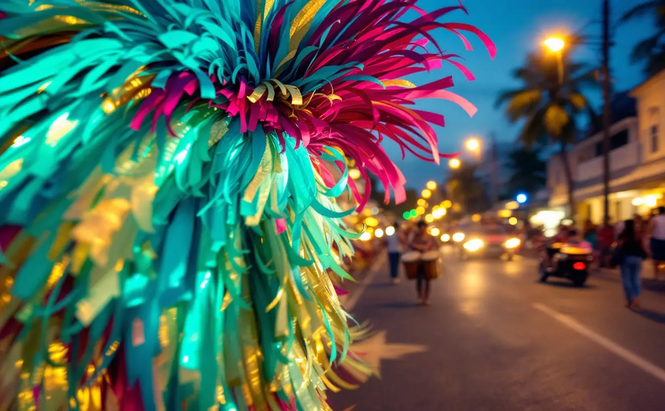
Junkanoo explained: the rush, the costumes and the groups on Bay Street
What Junkanoo is, where it came from and how the Boxing Day and New Year's parades work, from goatskin drums and crêpe-paper costumes to the big groups.

Island-hopping the Exumas by mail boat, ferry and small plane
A leg-by-leg Exumas route: overnight mail boat from Nassau to the cays, small boats around Staniel Cay, a light-plane hop to George Town and harbour ferries.
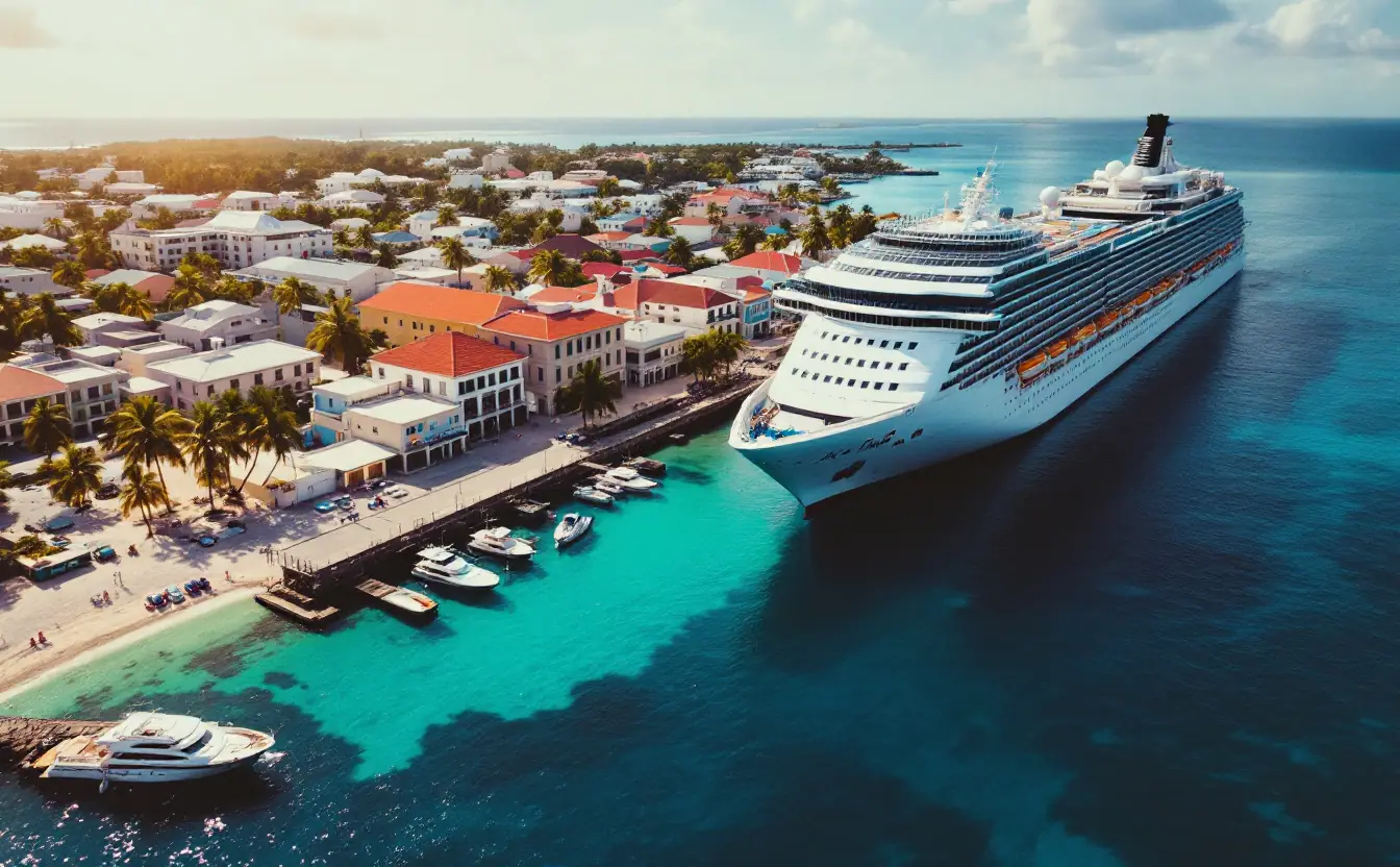
How tourism shapes the Bahamian economy: cruise, resorts and Out Islands
How visitor spending flows through the Bahamian economy: cruise versus stopover visitors, Nassau versus the Out Islands, and the risks of relying on tourism.